Edison Trail (Glendale)
Time at Start: 8:00 AM
Time at Return: 9:45 AM
AllTrails Route: Edison Trail

Total Distance: 2.5 mi
Highest Elevation: 1,800 ft
Today was super cloudy! Good weather for a hike. 
This time, brought along the same friendo that invited me to the Henninger Flats’s hike, plus 'nother friendo.
See, when I invite or am invited by friendos to events, I feel obligated to show up, and that’s more motivation to move my chonky butt. 
Picked a trail that was shorter in both length and elevation gain compared to last time, since:
- Didn’t wanna die. Again.

- Other friendo seemed like the fragile / hikkomori sort? IDK.
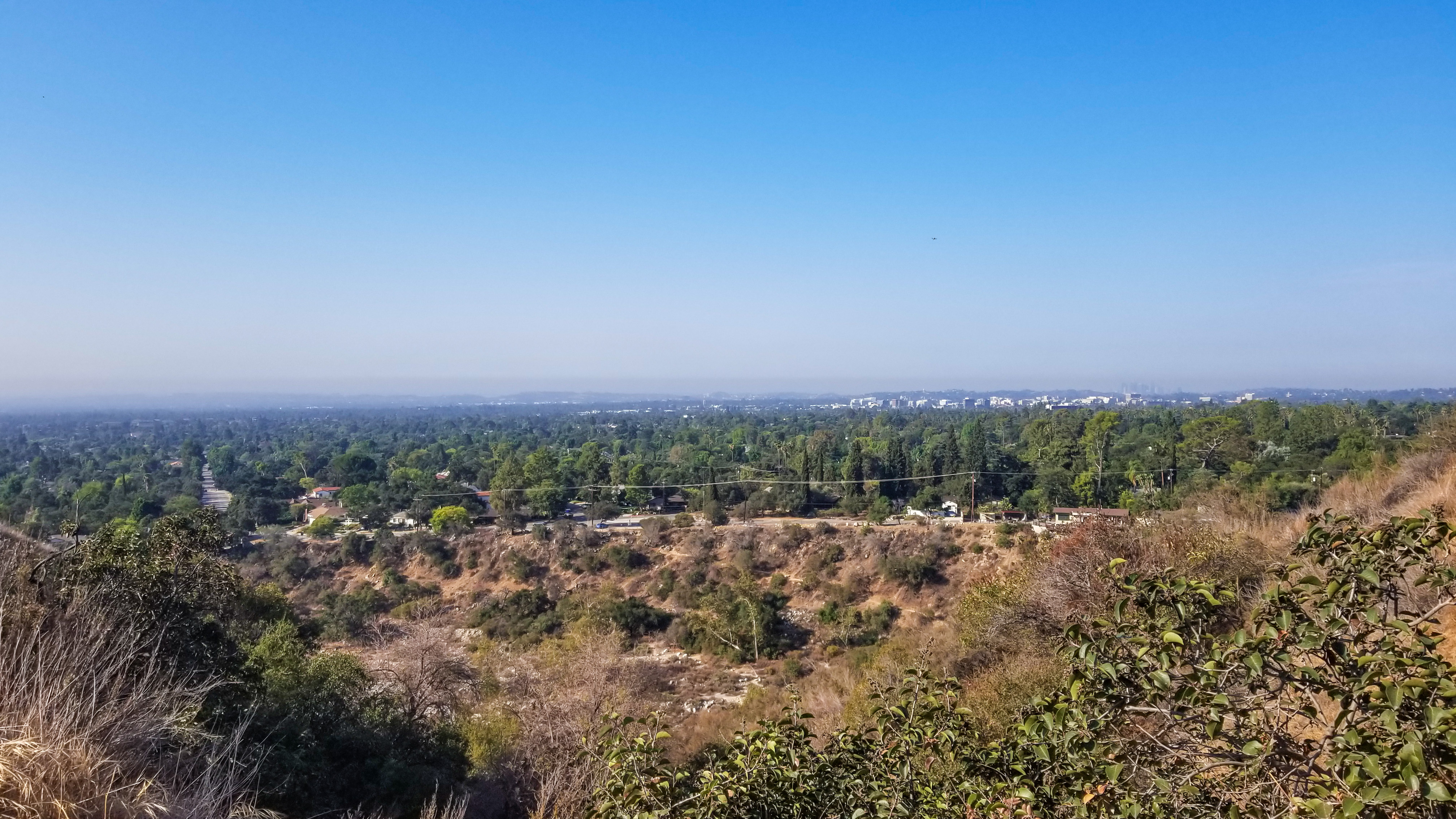
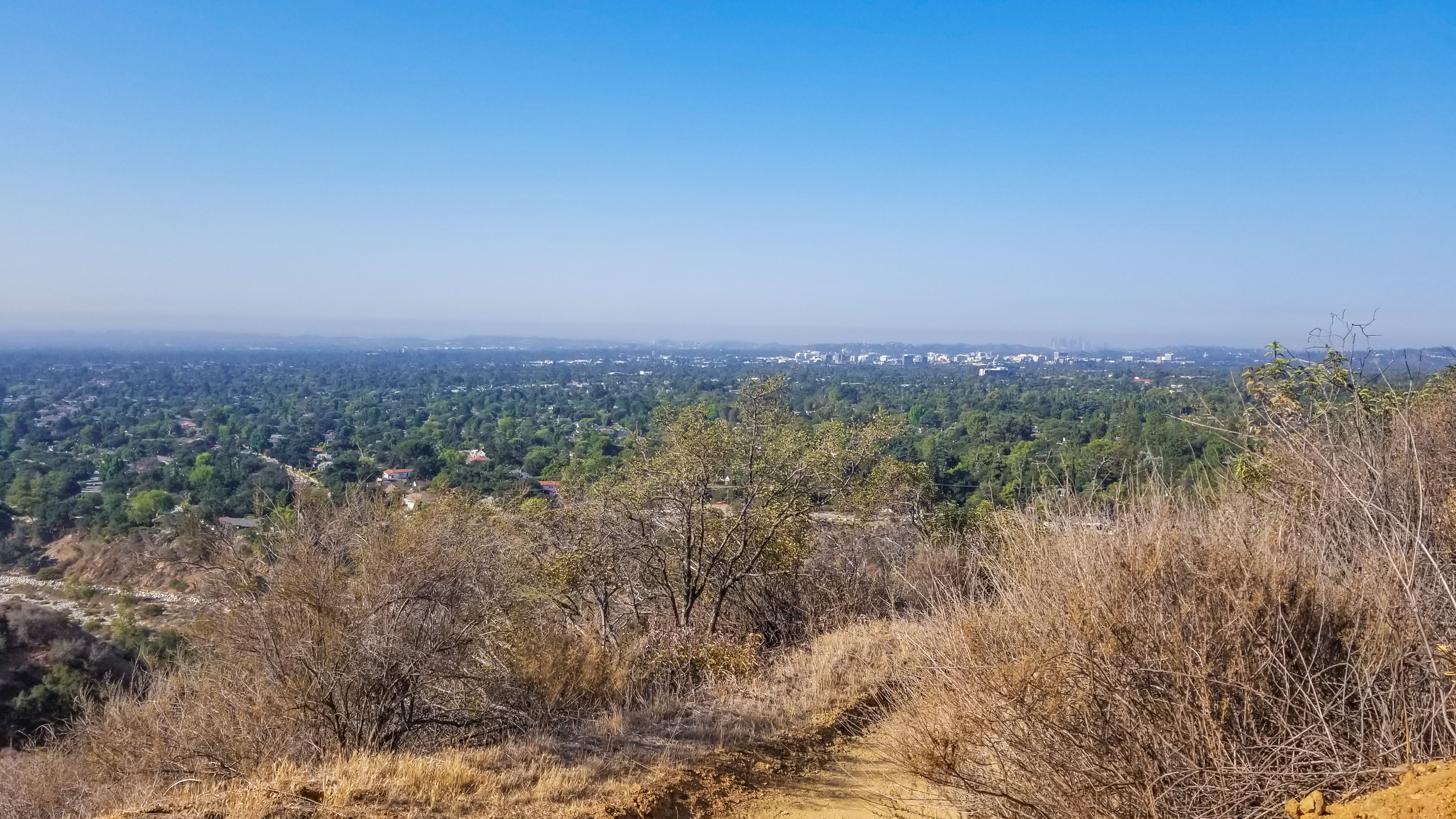
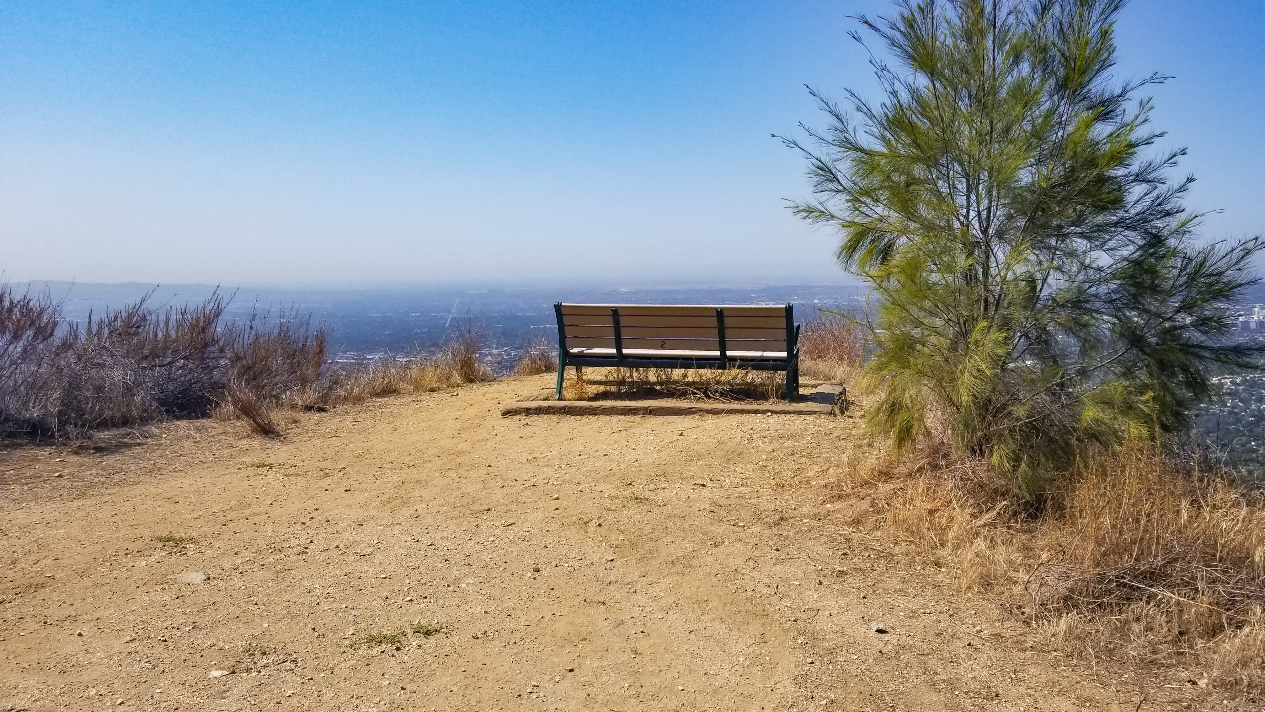
Generic Scenery Photos:
Finished up the hiking session with a loop through the residential area (route pictured above), rather than re-climb the hill (as the AllTrails link suggests). The route turned out like a mini-Henninger Flats trail – gradually climbing higher and higher 'til we hit the “peak,” then all downhill from there.
Glendale’s a fair bit away from our area, so we took the opportunity to visit the Glendale Galleria. 'Tis just another shopping center, but larger than our local Westfield Santa Anita.
…But of course it opens at 11:00 AM. 
So we killed some time with brunch at Love You Latte:

Love You Latte - Wall Mural

Love You Latte - Interior

Food & Drinks
Right to Left:
Americano + Matcha Tea (+ Vanilla Sweetener)
Avocado Toast + 2 × Salmon Toast
Traded one of my Salmon Toasts for one of my friendo’s Avocado Toasts. 
Food and Matcha Tea was decent. Toast was a bit cronchy for my grandma-teethies, IMO. At least it wasn’t a razor-sharp baguette.
Seating was a bit meh, tho. Had to wait a while, and the table is tiny for three people. Also, the wooden plates kept swiveling around. 
After brunchies, we hit the mall. 
Mall shenanigans ensues.
Dropped my friendos back home after Glendale, and I looked at my pants and boots and was thinking, “Eh, they aren’t dirty enough.” 
Spontaneously decided to hit another trail. One that’s super short and on my way home.
Edison Trail Park (Monterey Park)
Time at Start: 2:40 PM
Time at Destination: 3:00 PM
Time at Return: 3:50 PM
AllTrails Route: Edison Trail Park

This one’s practically in my backyard, ha.
The trail is interrupted by roads here n’ there, and starts off with a sudden, sharp uphill climb. After the initial steep rise, the rest of the hike is considerably easier. It’s a (relatively) short walk, but the hills can still work up a good sweat.

Who Dis
BTW!
Getting happier with my Adidas Terrex AX3 Hiking Shoes after every hike! Traction is great on steep inclines (especially downwards), and its exterior being waterproof (versus water-resistant) means cleaning is a breeze. I just spray them down with some water, and get a rag for hard-to-reach spots, and they’re presentable again.
Such a good deal on $60 - $70 shoooeees…!
Clothes and backpack are whatever, but good freaking shoes are a blessing on any hike.


